
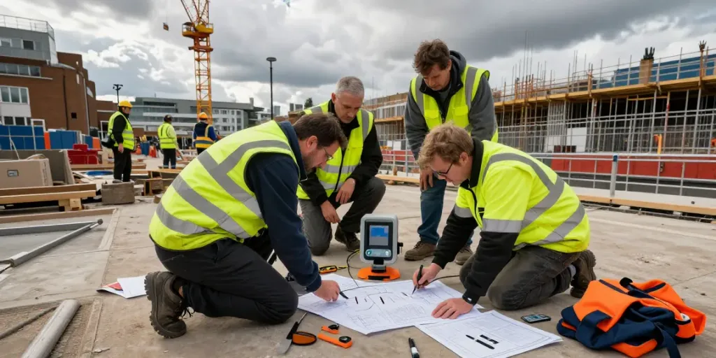
Understanding GPR Utility Surveys in London
In a fast-paced urban environment like London, the demand for effective and non-invasive methods of locating underground utilities is ever-increasing. Ground Penetrating Radar (GPR) utility surveys offer a cutting-edge solution to this pressing need. By employing radar pulses to penetrate the ground, GPR technology provides invaluable insights into the subsurface landscape, helping prevent costly disruptions during construction and maintenance. For those looking to explore comprehensive insights into GPR utility surveys, GPR Utility Survey London offers a wealth of resources tailored to both professionals and property owners.
What is GPR Technology?
Ground Penetrating Radar is a geophysical method that uses radar pulses to image the subsurface. The technology is based on the reflection of radar waves when they encounter different materials underground, allowing surveyors to identify the type and depth of utilities such as water pipes, electrical lines, and even voids or cavities. This method has gained traction in various fields, including construction, archaeology, and environmental studies, due to its accuracy and non-invasive nature.
How GPR Surveys Work
GPR surveys involve several critical steps. Initially, a GPR system, which comprises an antenna and a data acquisition unit, is rolled over the area being examined. The antenna emits high-frequency radio waves into the ground. When these waves encounter changes in material properties—like the boundary between soil and a pipe—some of the energy is reflected back to the antenna. The data collected is then processed and interpreted to produce a visual representation of the subsurface features.
Applications of GPR in Urban Environments
The applications of GPR surveys are substantial, particularly in urban settings where buried utilities can be densely packed and often uncharted. These applications include:
- Infrastructure Development: GPR is invaluable for construction projects, helping to map existing utilities before excavation.
- Archaeological Exploration: Archaeologists use GPR to locate buried structures and artifacts without disturbing the ground.
- Environmental Monitoring: GPR is used to assess landfills, monitor subsurface water and contamination, and evaluate geological formations.
Benefits of GPR Utility Surveys
Non-destructive Testing Advantages
One of the most significant benefits of GPR utility surveys is their non-destructive nature. Unlike traditional excavation methods, which can damage existing utilities and the surrounding environment, GPR surveys provide a means of mapping the subsurface without any ground disturbance. This ensures that existing infrastructure remains intact, reducing the risk of unforeseen complications during construction projects.
Time and Cost Efficiency in Urban Planning
In a bustling metropolis like London, time is money. GPR surveys can significantly reduce the time spent on site by providing precise utility mapping, enabling planners to make informed decisions quickly. By eliminating the guesswork associated with traditional utility detection methods, GPR can ultimately lead to lower overall project costs through decreased labour and material expenses.
High Accuracy in Locating Utilities
The accuracy provided by GPR technology is a game-changer in urban utility surveys. With the capability of identifying not just the location but also the size and type of utilities present underground, GPR helps in creating detailed maps that can guide future construction and maintenance activities. This high level of precision minimizes the risk of utility strikes, which can lead to costly repairs and safety hazards.
Challenges of GPR Utility Surveys
Common Misconceptions about GPR
Despite its advantages, there are some misconceptions regarding GPR's capabilities. For instance, some believe that GPR can detect all types of utilities with equal efficiency. However, the effectiveness of GPR can depend on factors such as soil conditions, type of utility material, and the depth at which the utilities are buried.
Limitations in Various Soil Types
GPR's performance can be greatly influenced by the type of soil in which it operates. Dense materials such as clay can absorb radar signals, limiting penetration depth and affecting the quality of data collected. Conversely, sandy soils typically allow for better effectiveness and clearer imaging results. Surveyors must consider these factors when planning a GPR survey to ensure successful outcomes.
Regulatory Compliance and Standards
In the UK, various regulations govern underground utility surveys, including adherence to PAS 128 standards. Compliance with these standards is crucial, as it ensures that GPR surveys meet the required safety and quality benchmarks. Understanding and navigating these regulations can be complex, yet it is essential for ensuring that survey results are accepted by local authorities and stakeholders.
Best Practices for Conducting GPR Surveys
Preparation Steps Before the Survey
Successful GPR surveys begin long before the equipment hits the ground. Proper preparation includes:
- Site Assessment: Conducting preliminary research on existing utilities and potential obstructions.
- Equipment Calibration: Ensuring that all GPR equipment is well-maintained and calibrated for the specific site conditions.
- Stakeholder Communication: Engaging with local utility companies and stakeholders to inform them of the impending survey.
Interpreting GPR Data Effectively
Interpreting GPR data requires expertise. While the technology provides detailed images of the subsurface, understanding what these images reveal necessitates trained professionals who can distinguish between different materials and conditions. Accurate interpretation can lead to better decision-making and project outcomes.
Integrating GPR Data into Project Planning
After collecting and interpreting GPR data, the next step is integrating this information into the broader project planning process. This includes updating utility maps, adjusting construction methodologies according to what has been discovered, and communicating findings with all team members. Utilising GPR data effectively can lead to more streamlined project execution.
Future Trends and Innovations in GPR Utility Surveys
Emerging Technologies in GPR
The field of GPR technology is continually evolving, with innovations that promise to enhance survey accuracy and efficiency. Developments include:
- 3D Imaging: Enhanced software is now enabling 3D visualisation of subsurface features, providing even more detailed insights.
- Drone-Assisted GPR: The integration of drones for GPR surveys allows for faster data collection over large areas.
- Machine Learning: Advanced algorithms are being developed to assist in interpreting GPR data, making it faster and more reliable.
Predicted Industry Changes for 2026
As we look towards 2026, the utility surveying industry is expected to embrace further automation and integration of GPR technology with other surveying methods. The push towards 'smart cities' will necessitate more sophisticated methods of mapping underground utilities, with GPR being at the forefront of this evolution.
Environmental Considerations for GPR Surveys
As environmental concerns become more pronounced, GPR surveys offer a sustainable alternative to traditional excavation methods. The non-invasive nature of GPR not only protects existing utilities but also reduces the carbon footprint associated with construction activities. Moving forward, the industry will increasingly focus on environmentally friendly practices, aligning with global sustainability goals.